Part of Vancouver Island has been put under a flood warning as heavy rain from an atmospheric river system swells rivers across British Columbia's south coast.
The B.C. River Forecast Centre says the Englishman River near Parksville, about 116 kilometres west of Vancouver and just north of Nanaimo has reached or exceeded flood levels and is expected to near or surpass five-to-10-year flows in some areas.
There's the possibility near Parksville of road washouts, landslides, localized flooding and swift water hazards, while the rest of Vancouver Island is under a flood watch as rivers rise.
A rainfall warning continues for most of Vancouver Island's west coast and inland regions, as well as parts of Metro Vancouver, Howe Sound, Fraser Valley, Highway 3 from Hope to Princeton and the Coquihalla from Hope to Merritt.
The forecast is calling for rainfall to possibly reach 200 millimetres in the Howe Sound region, where Port Mellon received more than 73 millimetres on Sunday, while as much as 150 millimetres may fall in the parts of Metro Vancouver north of the Fraser River.
Coastal Vancouver Island is expected to get as much as 250 millimetres of rain, and inland areas of the island could get up to 140 millimetres by the end of Monday.
An evacuation alert was issued Sunday for parts of the Fraser Valley for some properties along the Chilliwack River, with residents asked to be prepared to leave at a moment's notice due to high river flows.
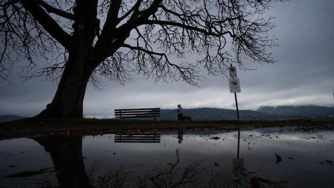
Picture Courtesy: THE CANADIAN PRESS/Ethan Cairns


